Air Quality Monitoring Drone
Transforming Environmental Insights Real-time Air Quality Data with Cutting-edge Drone Technology
- Real-time Data Analysis
- 4K Video Footage
Transforming Environmental Insights Real-time Air Quality Data with Cutting-edge Drone Technology
Cutting-Edge Technology for Precise and Actionable Insights
Comprehensive Air Quality
Data Across Regions
Detailed Maps for
Targeted Interventions
Monitoring Air Quality with Unmatched Precision
Stay Connected with Air
Quality Insights On-the-Go
Instant Insights for Informed Decision-Making
Handy Remote Control
for Precise Maneuverability
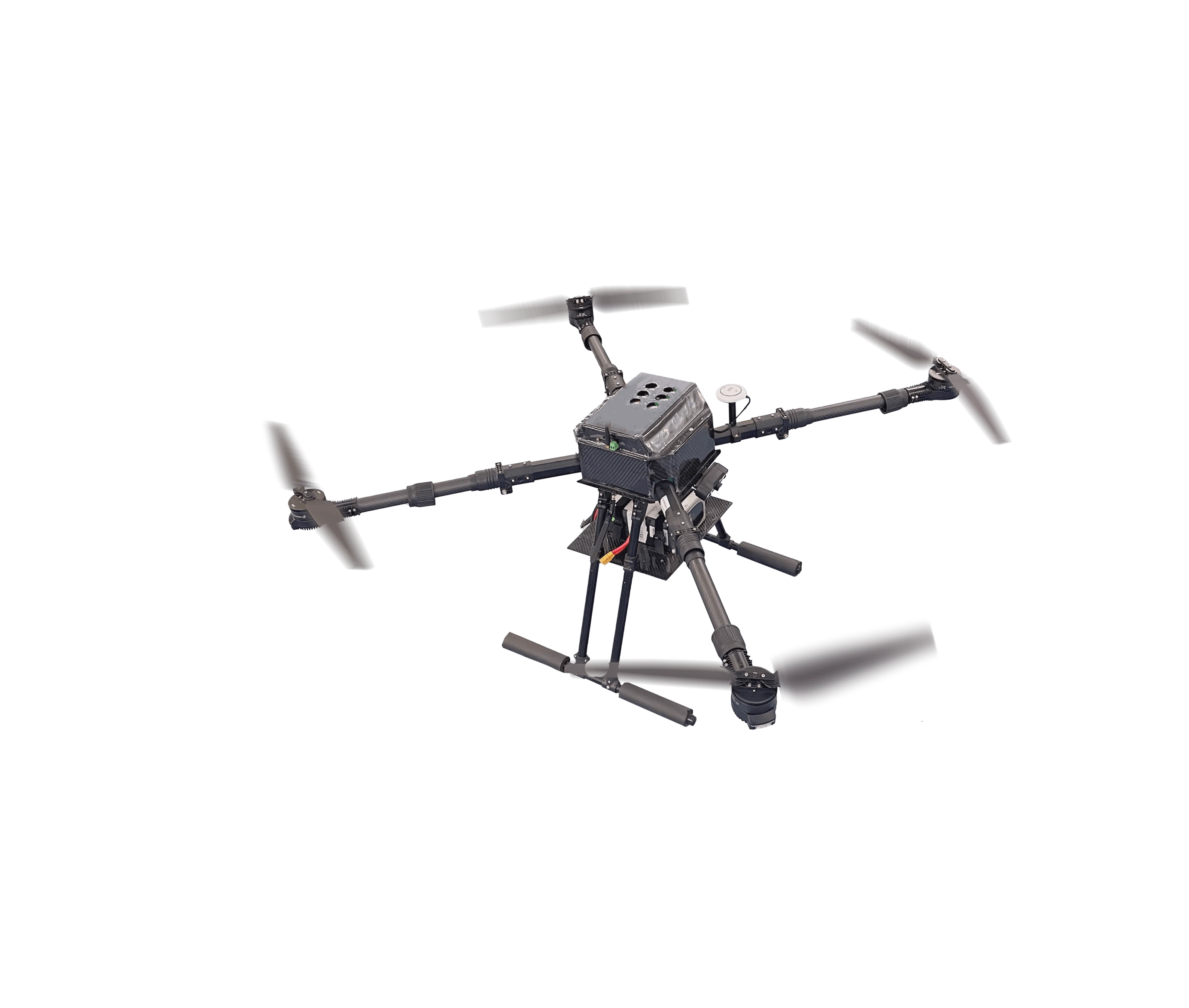
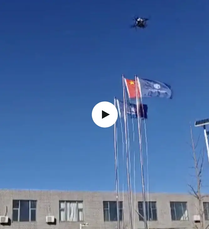
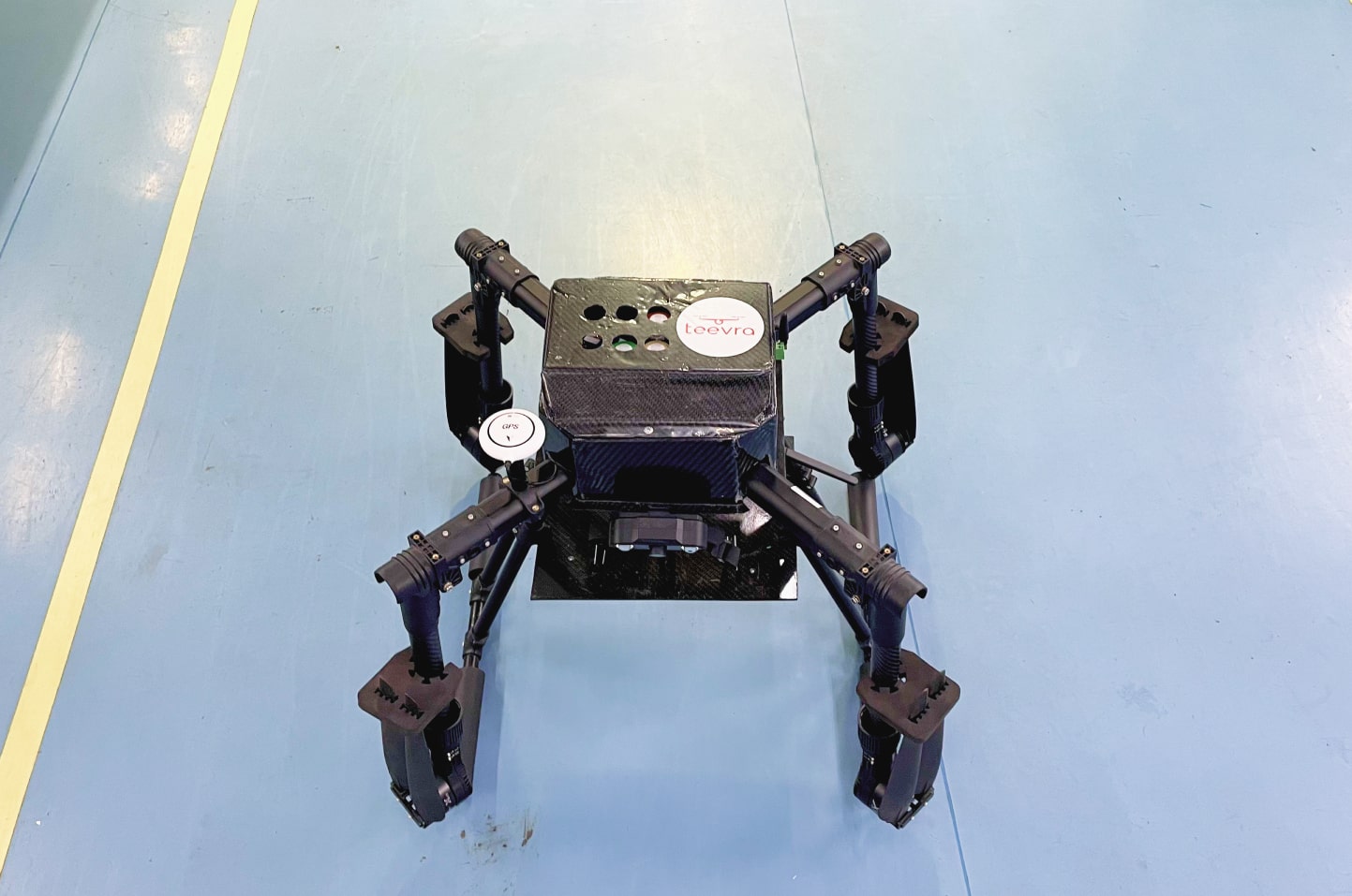
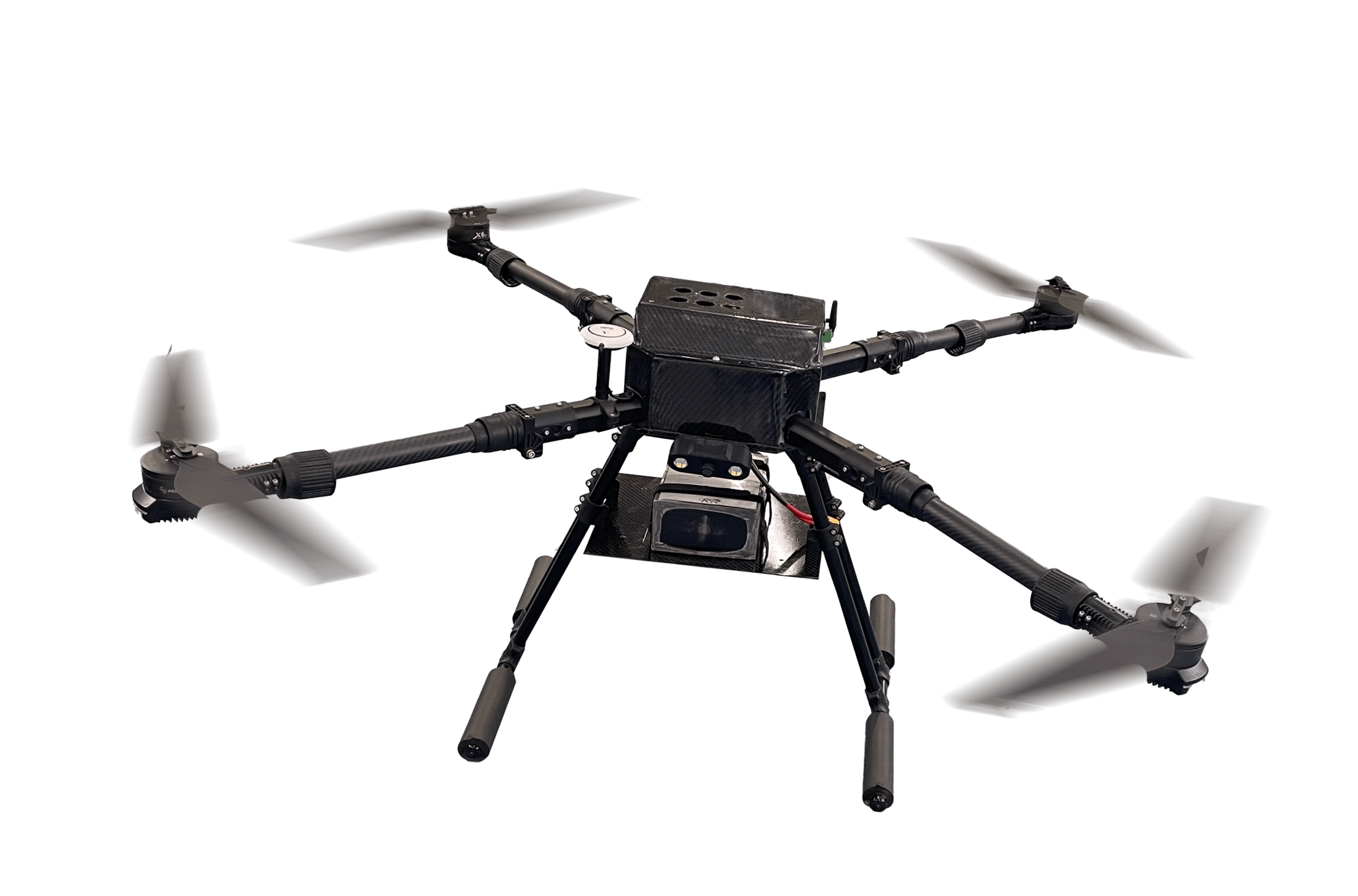
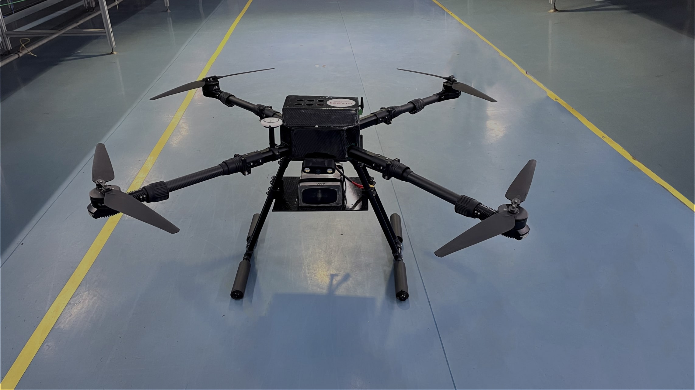
Prana Air’s Quad Drone for Air Quality Monitoring is an advanced device designed to provide accurate, real-time data on air pollution levels across various locations. It is perfect for monitoring urban air quality, industrial emissions, and environmental pollution in hard-to-reach or high-risk areas.
The ideal solution for your environmental surveys, pollution assessments, or climate studies, this drone provides actionable insights to help reduce the harmful effects of air pollution.

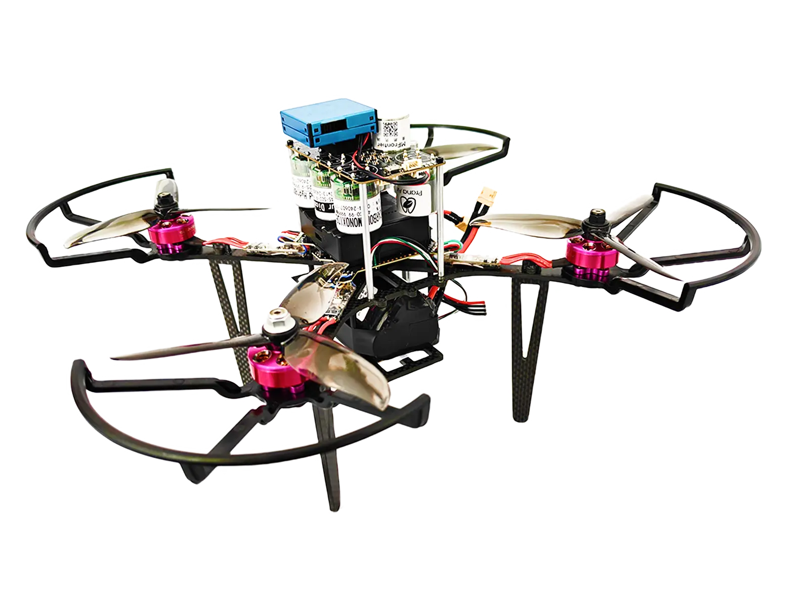
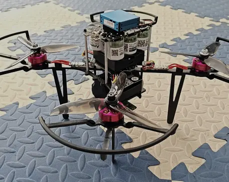
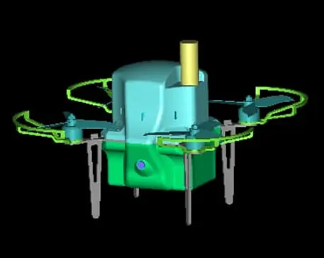
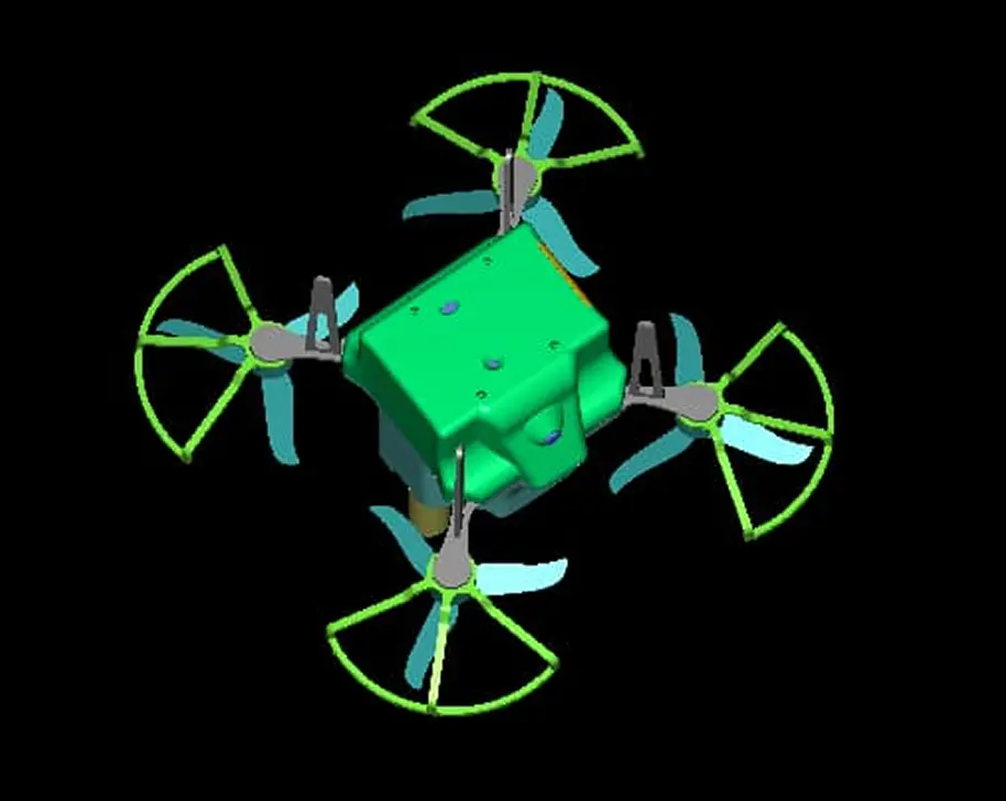
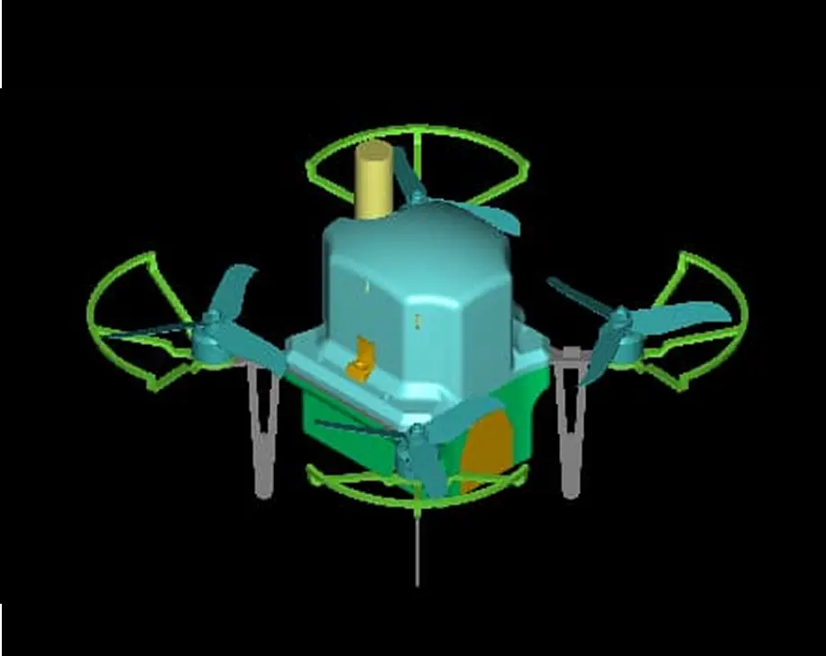
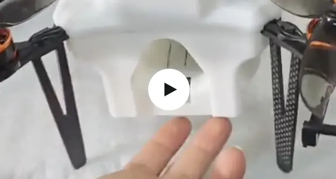
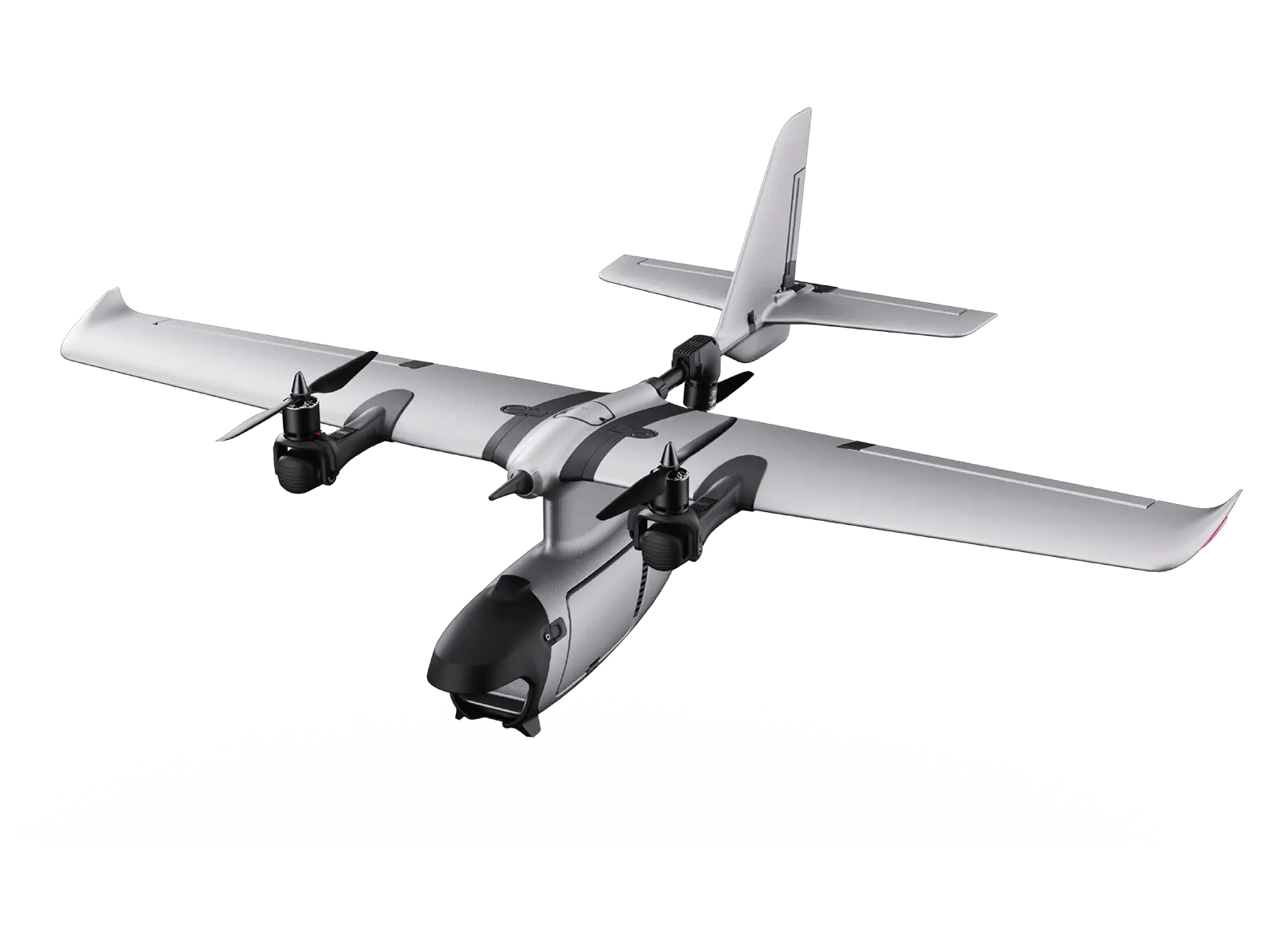
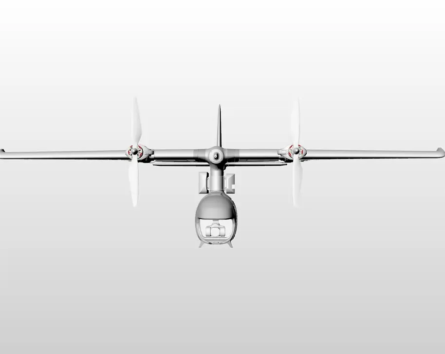
The Prana VTOL (Vertical Take-Off and Landing) drone Air is an utmost solution for air quality monitoring. Combining the versatility of traditional drones with the performance of a fixed-wing aircraft, this VTOL drone offers unmatched efficiency in capturing air quality data over large and difficult-to-access areas.
It is perfect for environmental monitoring, industrial emissions tracking, and pollution analysis, this drone is tailored for both short-range and long-range missions.
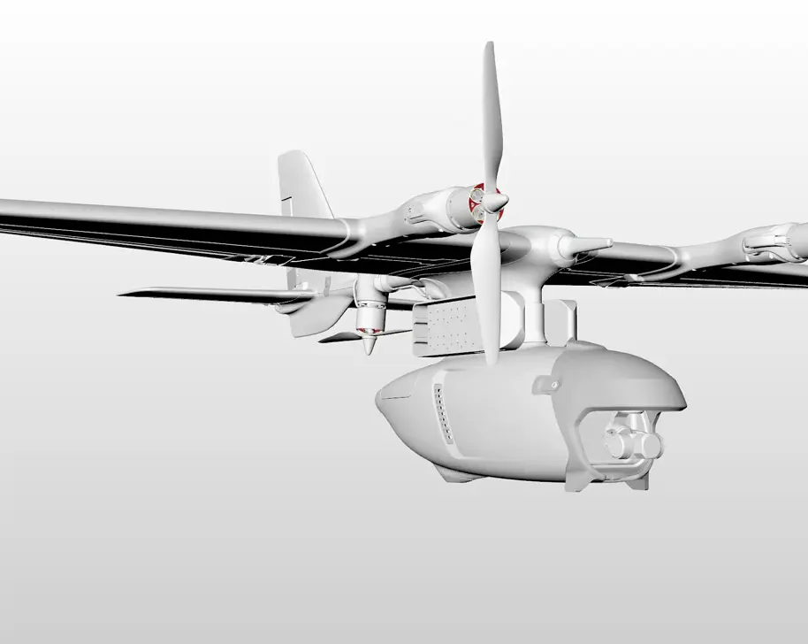
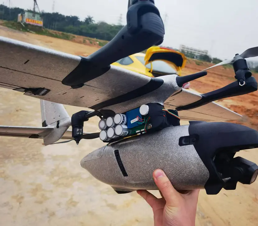

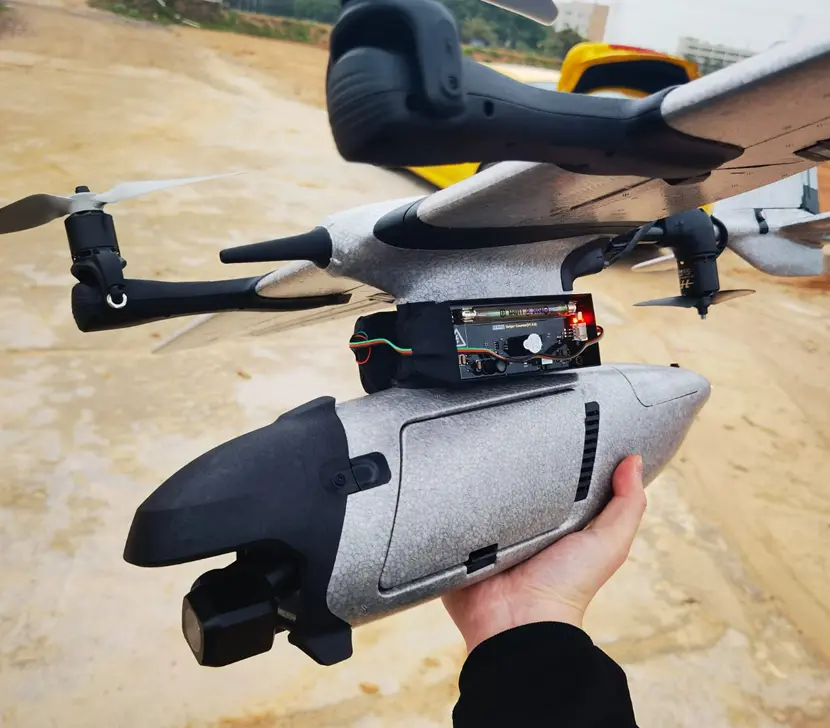
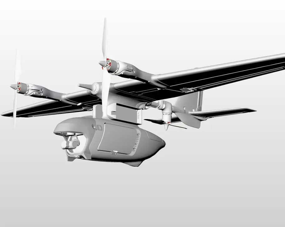
Prana Air’s Quad Drone for Air Quality Monitoring is an advanced device designed to provide accurate, real-time data on air pollution levels across various locations. It is perfect for monitoring urban air quality, industrial emissions, and environmental pollution in hard-to-reach or high-risk areas.
The ideal solution for your environmental surveys, pollution assessments, or climate studies, this drone provides actionable insights to help reduce the harmful effects of air pollution.


The Prana VTOL (Vertical Take-Off and Landing) drone Air is an utmost solution for air quality monitoring. Combining the versatility of traditional drones with the performance of a fixed-wing aircraft, this VTOL drone offers unmatched efficiency in capturing air quality data over large and difficult-to-access areas.
It is perfect for environmental monitoring, industrial emissions tracking, and pollution analysis, this drone is tailored for both short-range and long-range missions.


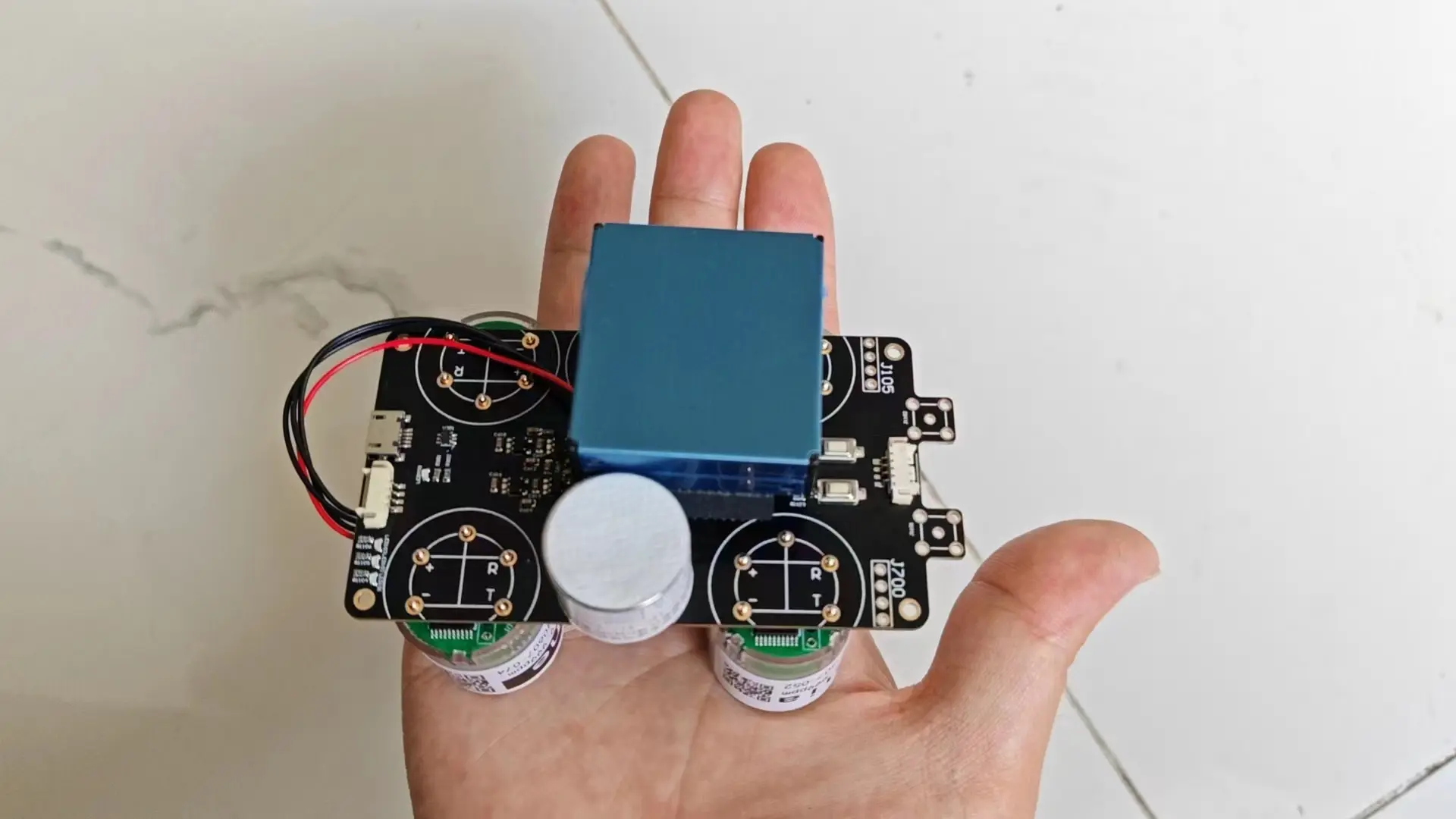
Our air quality monitoring drone excels in accurately capturing different air quality parameters. Multiple parameter monitoring capability makes our drone versatile for most air quality monitoring applications.


Accurate measurement of particulate matter levels for comprehensive air quality analysis.
Precise detection of SO2 levels, crucial for assessing air pollution and its environmental impacts
Monitoring the concentration of NO2, a key pollutant contributing to air pollution and respiratory issues.
Measurement of CO levels, an essential indicator of air pollution from combustion sources.
Measurement of ozone levels to assess air quality and potential deviations from normal levels.
Monitoring ammonia levels, particularly relevant in agricultural and industrial settings.
The drone also records temperature and humidity data, providing valuable environmental context.

![]()
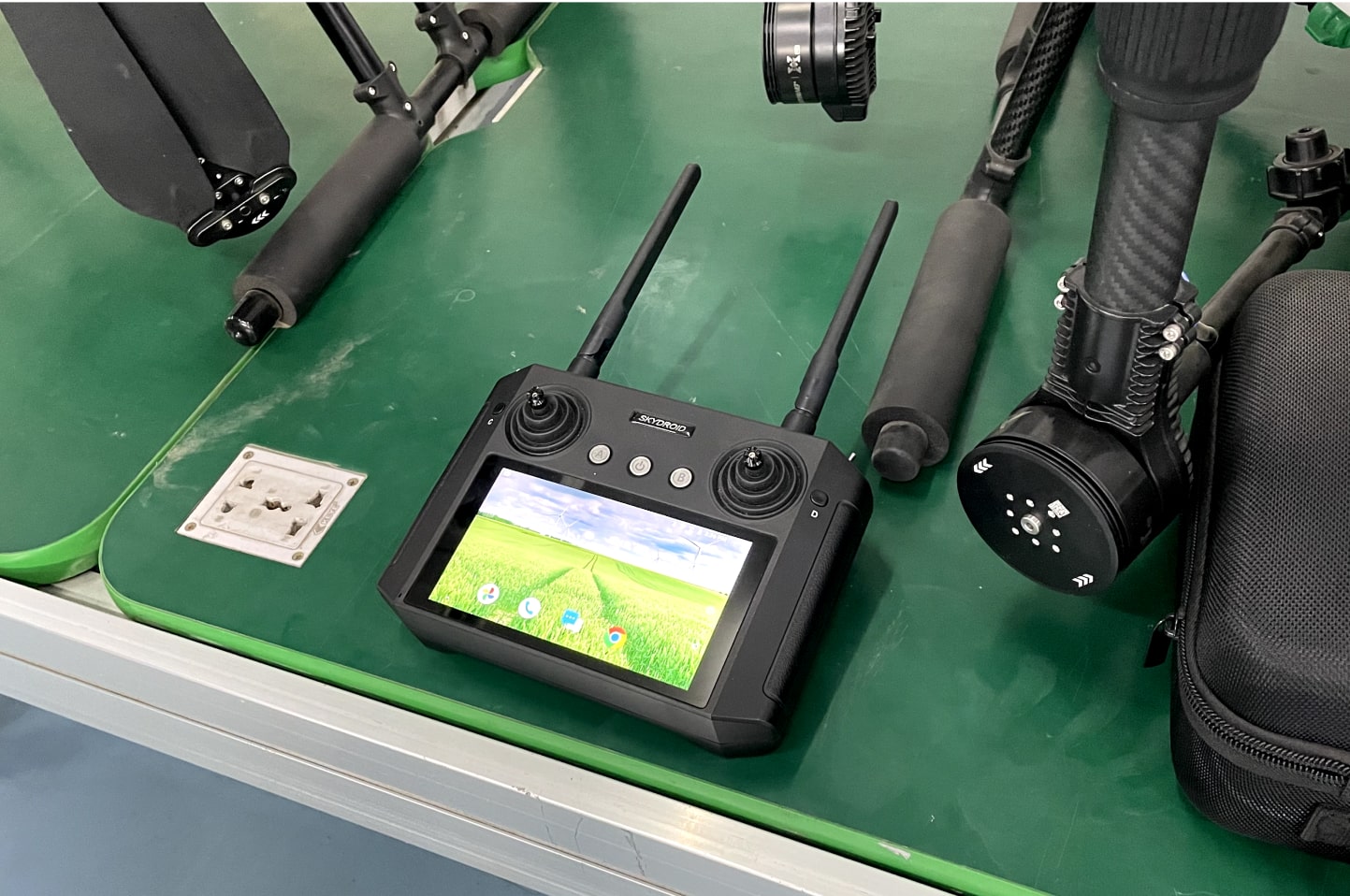
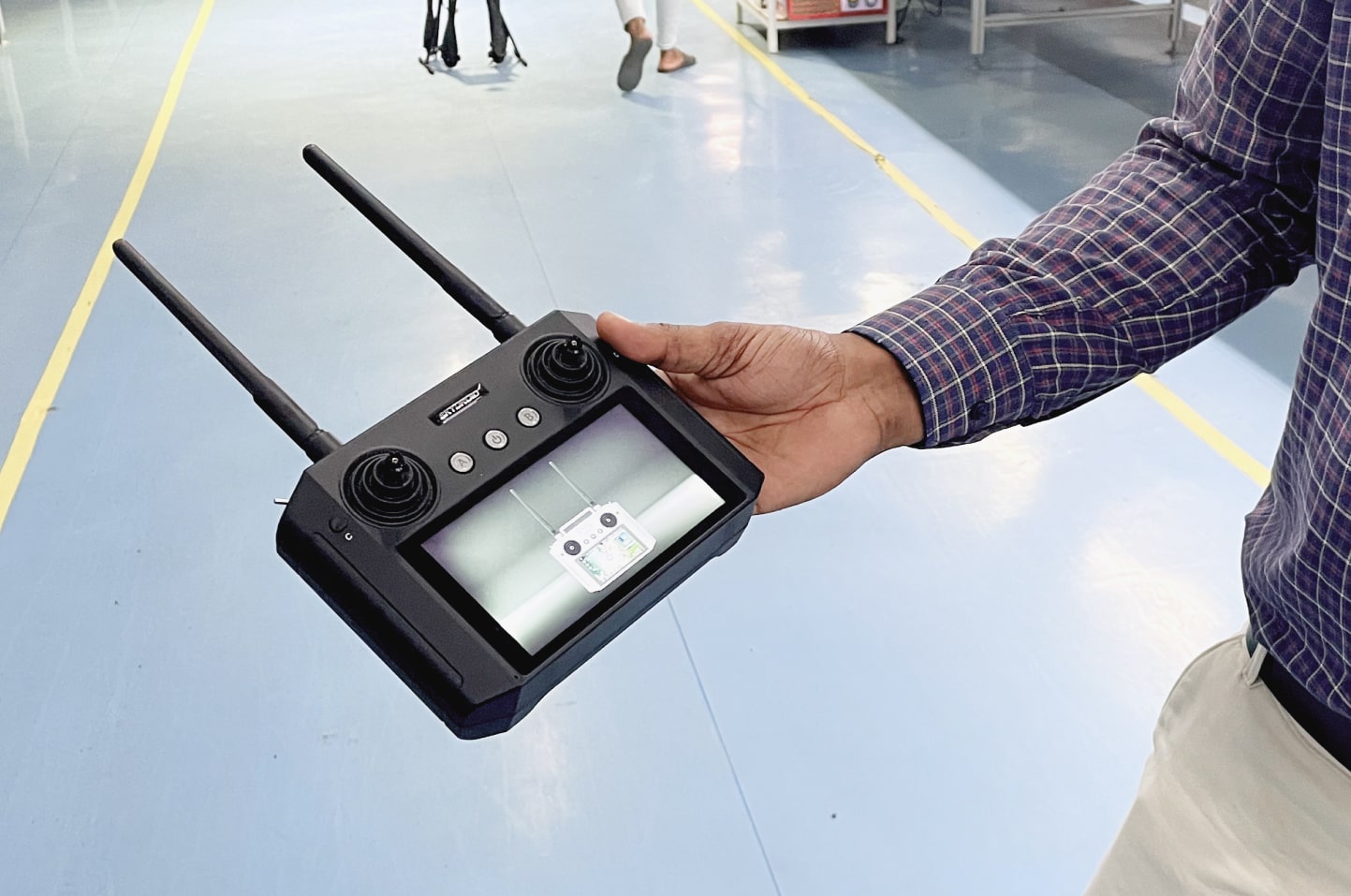
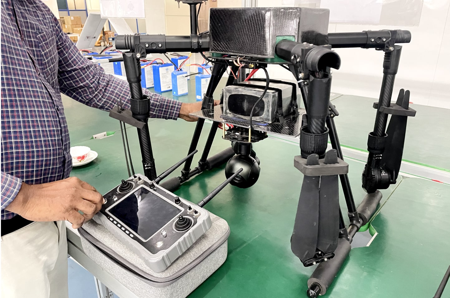
Experience seamless control and precision navigation as you effortlessly maneuver the air quality monitoring drone using advanced remote controllers. Stay in complete command while collecting valuable data and capturing visual insights from the comfort of your fingertips.

![]()
![]()
![]()
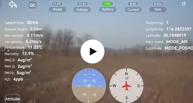
Empower Yourself with Immediate Air Quality Insights on Your Remote Controller, Taking Charge of Environmental Health Monitoring and Improvement Efforts
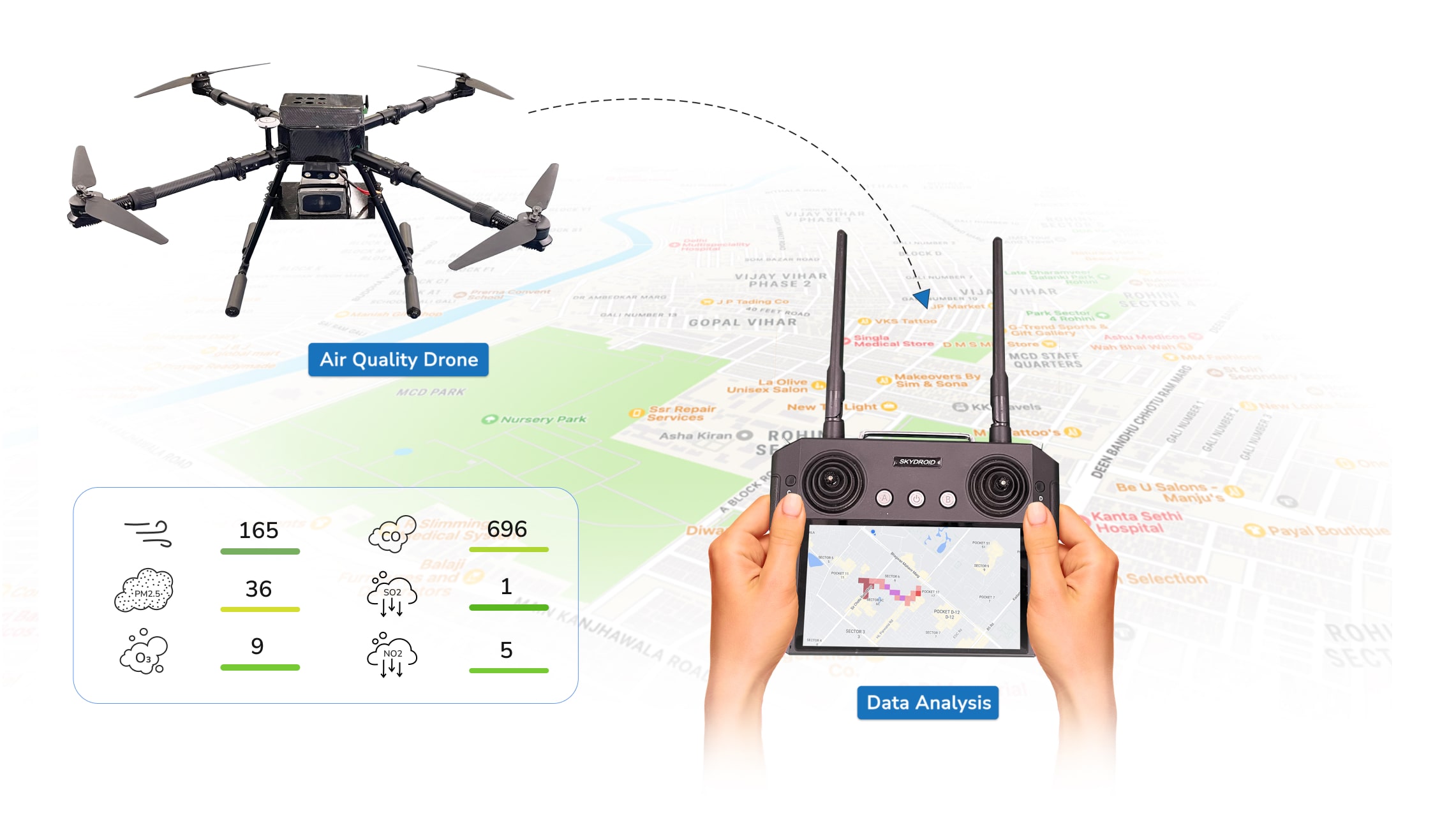
Complete Insights to Drive Informed Decision-making and Achieve Comprehensive Analysis for Optimal Air Quality Results for different parameters.
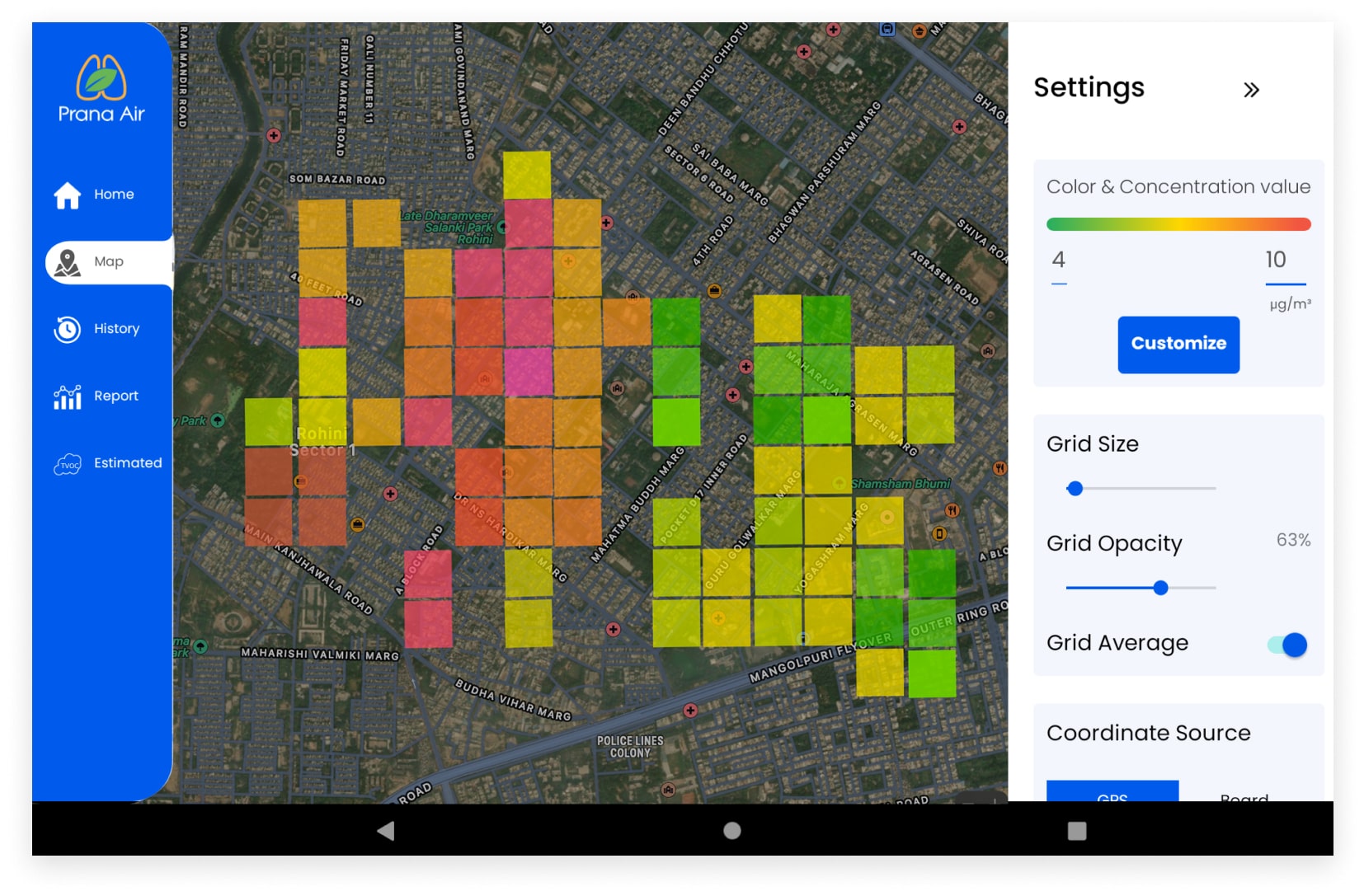
Visualize air pollution density with heat-maps.
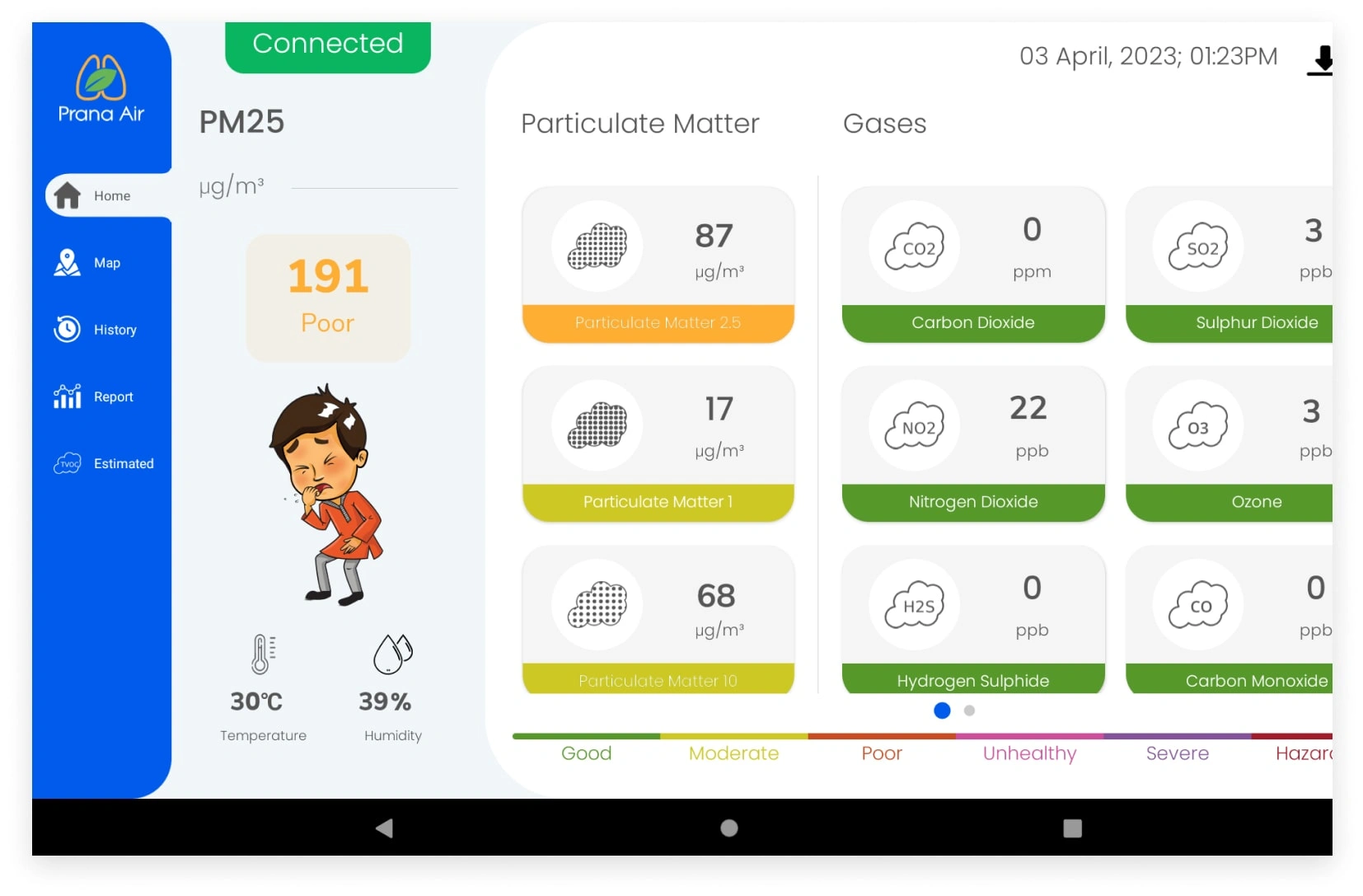
Monitoring multiple Air Quality parameters.
Receive a complete package including a drone, remote controller, and dedicated technical support for a seamless experience.
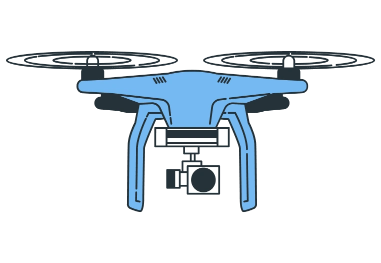
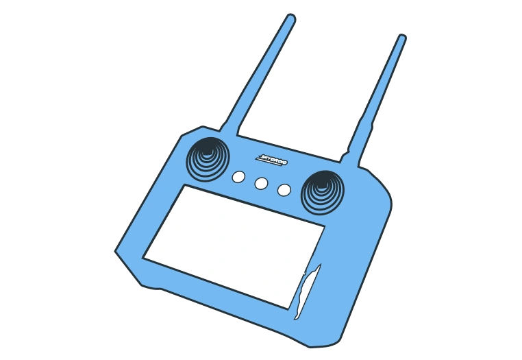

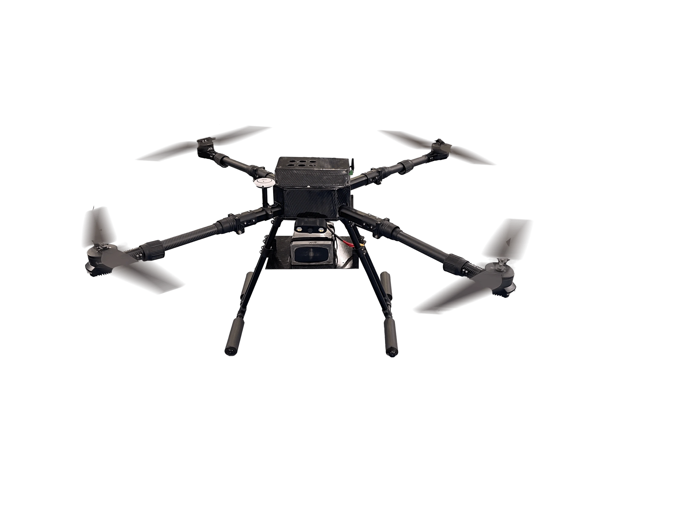
It offers mobility, real-time data, comprehensive coverage, versatility, cost-effectiveness, flexibility and visual insights.
Compare the features of Prana Air’s air quality drone with existing air quality monitoring systems. Discover how our advanced drone technology offers enhanced capabilities for comprehensive and efficient air quality monitoring.
Informative video tutorial showcasing step-by-step instructions to ensure accurate data collection and gain valuable
insights for informed environmental decisions.
Our air quality monitoring drone excels in accurately capturing different air quality parameters. Multiple parameter monitoring capability makes our drone versatile for most air quality monitoring applications.

Drones can monitor air quality in densely populated urban areas, helping to identify pollution sources, assess the impact of traffic congestion, and evaluate the effectiveness of pollution control measures.
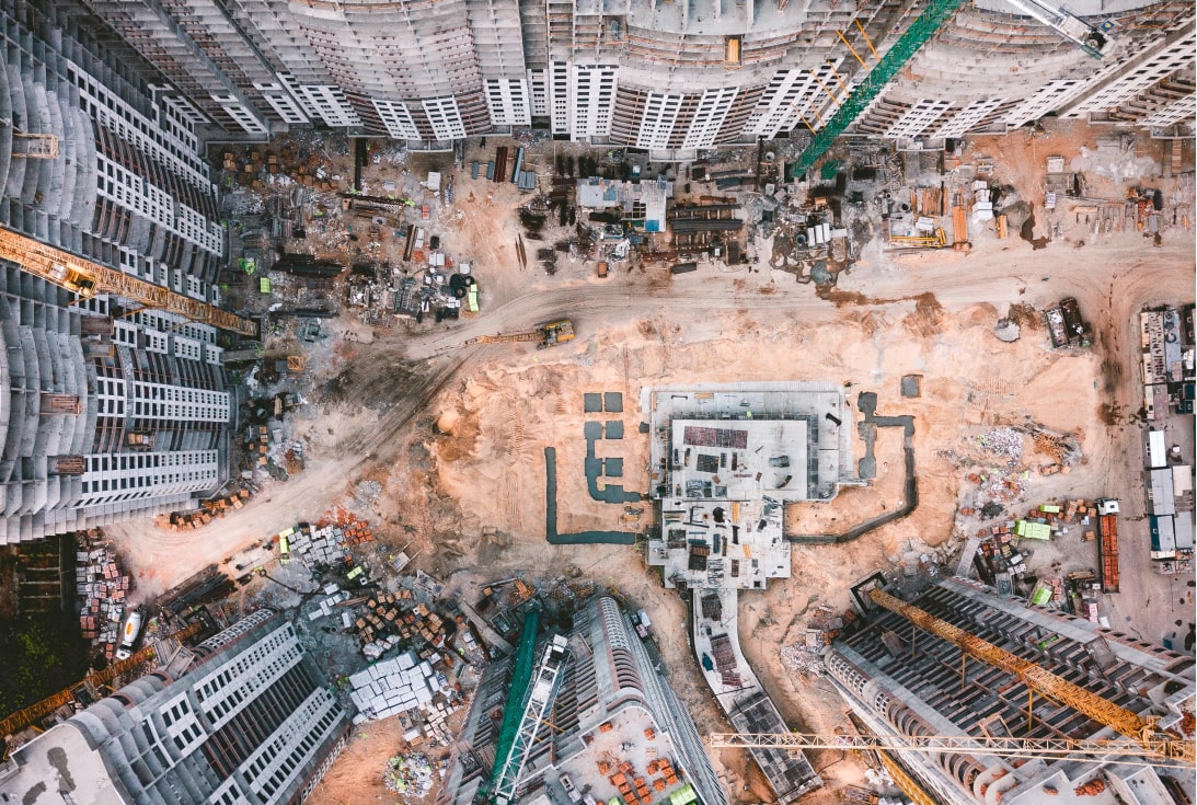
Drones can be used to assess the air quality impact of infrastructure projects, construction sites, and industrial developments, providing valuable insights for environmental impact assessments.
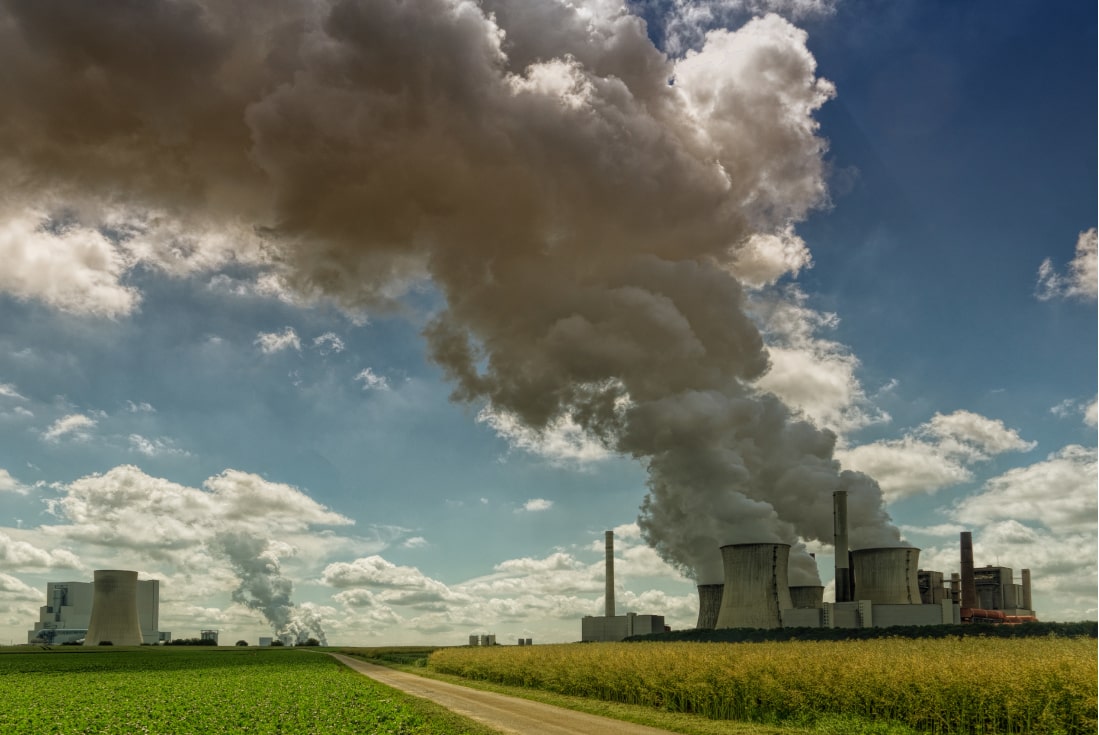
They can monitor emissions from industrial facilities, ensuring compliance with environmental regulations and identifying opportunities for emission reduction. This promoties industry sustainability through emission monitoring.

Drones can monitor air quality in densely populated urban areas, helping to identify pollution sources, assess the impact of traffic congestion, and evaluate the effectiveness of pollution control measures.
Drone
Product Name :
Sensor :
Camera:
Video Resolution :
Blowing continuity test :
Battery Endurance :
Cruise Speed:
Max Speed :
Operational Altitude (AGL) :
Working Range :
Wind Resistance :
Propulsion Type :
Motors :
Propeller :
Maximum Take Off Weight :
Maximum Payload :
Operating Temp. :
Dimension Extended :
Have questions? We’re here to help.
Prana Air’s air quality drone is an advanced unmanned aerial vehicle specifically designed for monitoring and assessing air quality parameters in real-time.
It can measure various air quality parameters, including PM2.5, PM10, carbon monoxide (CO), nitrogen dioxide (NO2), sulfur dioxide (SO2), ozone (O3), temperature, and humidity.
The drone is equipped with high-precision sensors that measure the concentrations of different pollutants in the air. These sensors provide accurate and real-time data readings during the drone’s flight.
Yes, Prana Air drone is equipped with a high-resolution camera that can capture visual images and videos of the monitored areas. This visual documentation complements the air quality data, aiding in analysis and source identification.
Prana Air drone provides real-time air quality data, enabling prompt identification of pollution sources and hotspots. This information can aid in implementing targeted pollution control measures and developing effective air pollution management strategies.
Yes, the drone is suitable for monitoring air quality in urban areas. Its mobility and ability to cover large areas efficiently make it an effective tool for assessing air pollution levels in cities.
Yes, it is suitable for research and scientific studies related to air quality monitoring. Its ability to collect accurate and real-time data makes it valuable for scientific research, environmental studies, and data-driven investigations into air pollution and its impacts.
Please help us know what requirements you have.
Our team will contact you very soon.
Looking for air quality drone?